Insurance · Saskatchewan
Parametric crop insurance, Saskatchewan
Challenge
A Saskatchewan-based parametric crop insurer needed objective, field-level information on how insured land was being managed, to support underwriting and the design of parametric cover across a large, dispersed book.
Approach
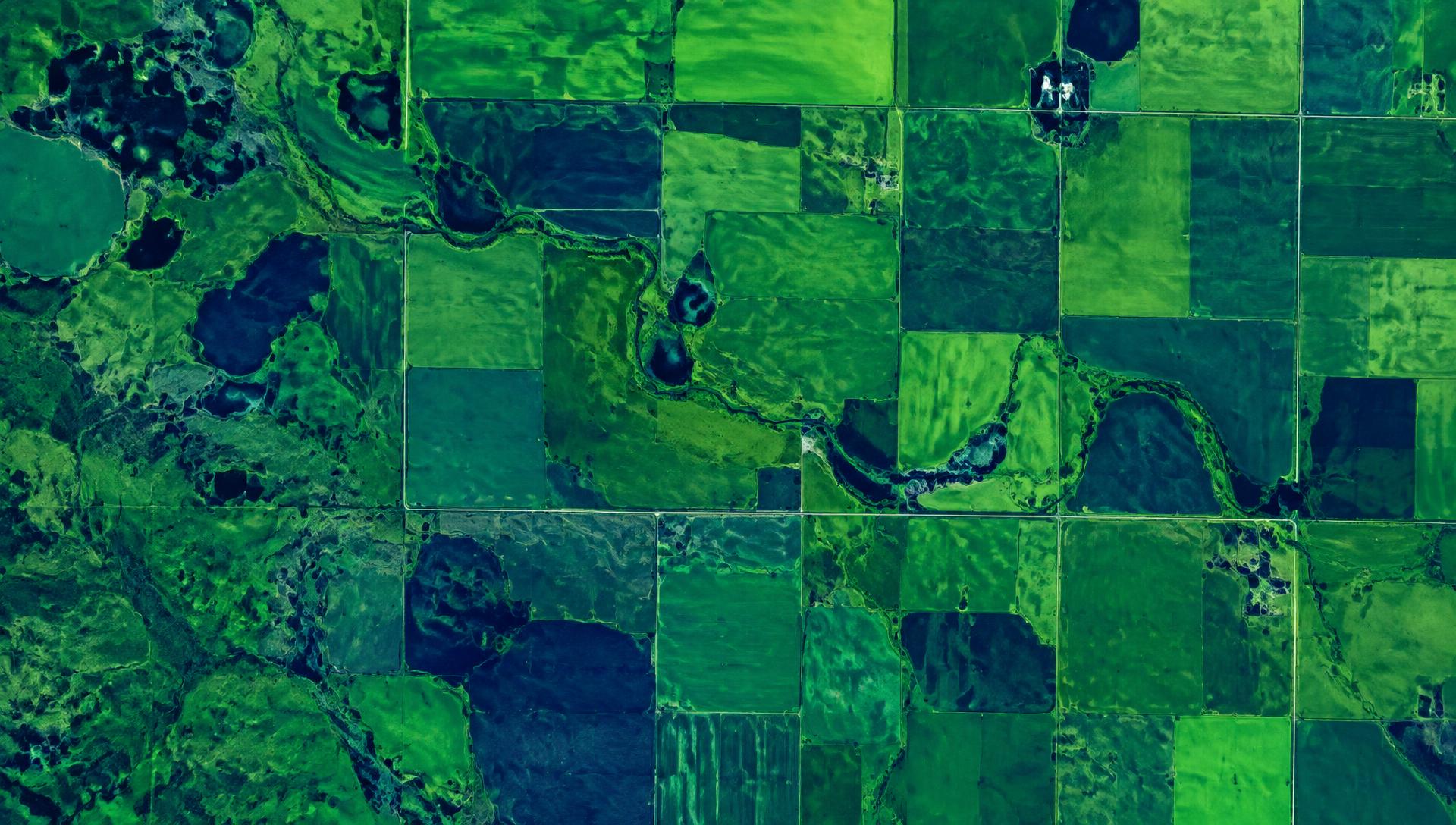
Earth Sense deployed land management monitoring across the insured area, combining multi-year vegetation indices, land-use indicators and climate data into field-level profiles and portfolio views.
Outcome
The insurer now uses independent satellite evidence to support underwriting decisions and parametric cover, with a consistent view of land management across its portfolio.