Solution
Sustainable land management monitoring
Field-level vegetation and land-use monitoring over time.
The problem
Lenders, insurers and buyers increasingly need to know how land is managed, not just who owns it. Self-reported practice data is patchy, slow to collect and hard to verify across thousands of fields.
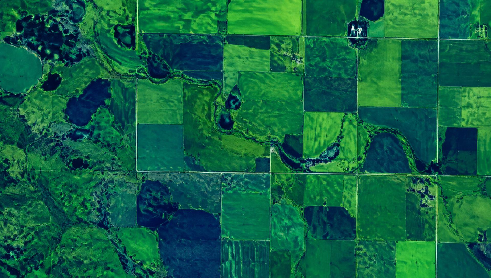
What Earth Sense measures
- Vegetation vigour and seasonal growth curves per field
- Cover cropping, tillage and bare-soil indicators
- Land-use and land-cover change over multiple years
- Climate and soil context for each parcel
Who uses it
- Agricultural lenders
- Crop and parametric insurers
- Agrifood supply chains
- Government programmes
Outputs
- Field-level time series
- Practice indicators and scores
- Portfolio dashboards
- Exportable evidence reports
See your land through a satellite lens.
Tell us about your portfolio, supply chain or programme and we will show you what Earth Sense can measure.