Solution
Wildfire
Detection, burn-area mapping and exposure insight.
The problem
Wildfire seasons in Canada are longer and more severe. Insurers, lenders and public bodies need timely, objective information on where fire has burned and what assets and land are exposed.
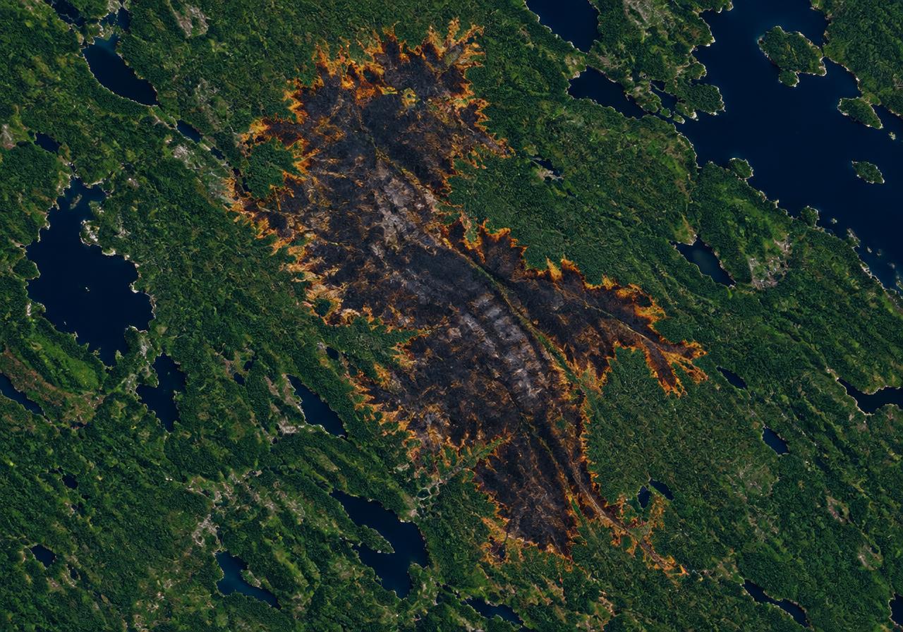
What Earth Sense measures
- Active fire detections
- Burn-area and burn-severity mapping
- Exposure of fields, forests and assets
- Post-fire vegetation recovery
Who uses it
- Property and crop insurers
- Lenders and asset managers
- Federal, provincial and municipal government
- Land and forest managers
Outputs
- Burn-area maps
- Exposure reports
- Alerts
- Historical fire datasets
See your land through a satellite lens.
Tell us about your portfolio, supply chain or programme and we will show you what Earth Sense can measure.