Solution
Deforestation
Detection and verification of forest loss and land conversion.
The problem
Supply chains selling into markets with deforestation-free requirements, such as the EU, must show that commodities do not come from recently converted land. Doing so plot by plot, at scale, demands consistent and independent evidence.
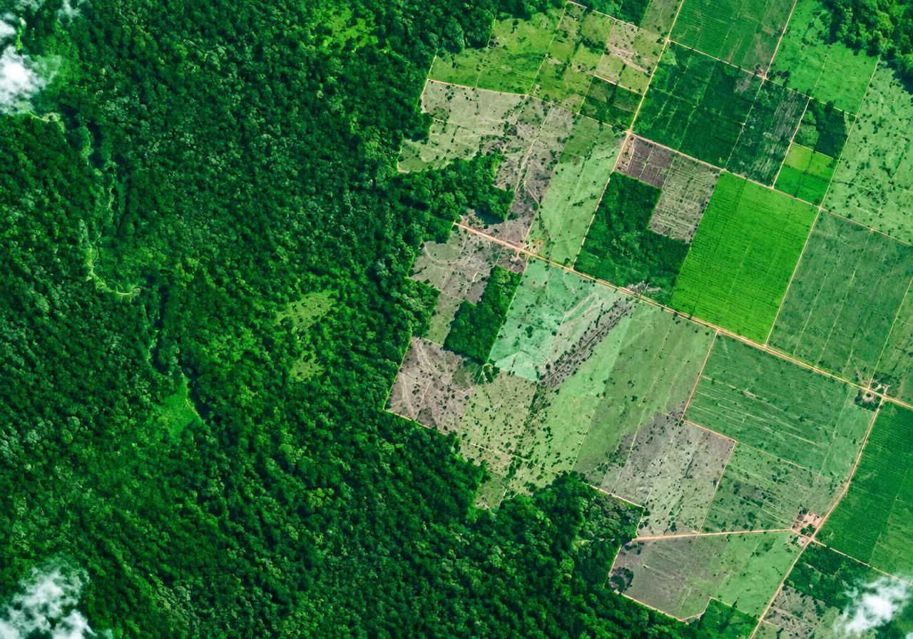
What Earth Sense measures
- Forest cover baselines against reference dates
- Forest loss and land conversion events
- Plot-level geolocation checks
- Change verification using multi-source imagery
Who uses it
- Commodity exporters and traders
- Food and beverage brands
- Lenders with agricultural exposure
- NGOs and certification bodies
Outputs
- Plot-level risk flags
- Change alerts
- Due-diligence evidence packs
- API and data feeds
See your land through a satellite lens.
Tell us about your portfolio, supply chain or programme and we will show you what Earth Sense can measure.